
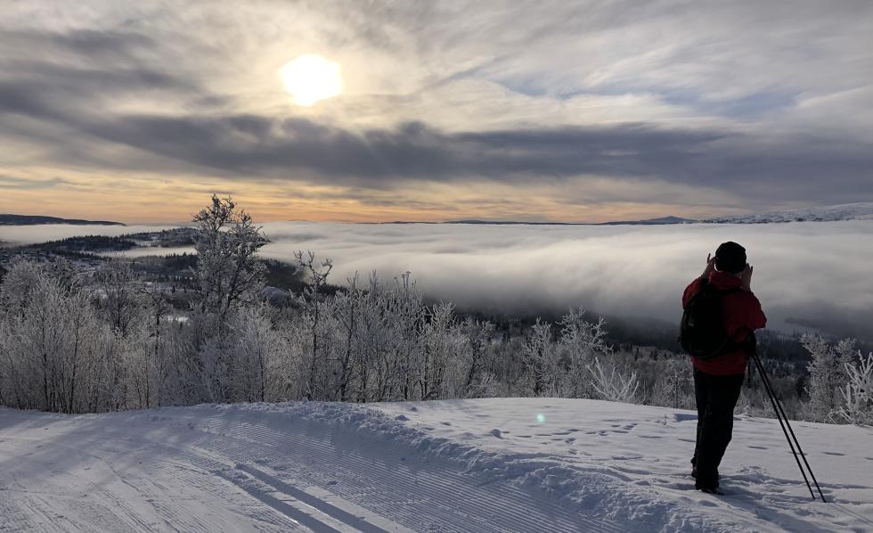
Beitostølen - blue and green
- 13.8mi
- Asc 430m
- Hillscore 38
Created by DrMags
Saved from a training run
| Hill | Starts At | Ends At | Climb (metres) | Gradient % |
|---|---|---|---|---|
| 1 | 0.0mi | 1.1mi | 142 | 8.0 |
| 2 | 1.4mi | 1.8mi | 30 | 4.9 |
| 3 | 2.8mi | 3.1mi | 12 | 2.3 |
| 4 | 3.6mi | 4.1mi | 48 | 6.5 |
| 5 | 4.7mi | 4.8mi | 10 | 3.3 |
| 6 | 6.6mi | 7.0mi | 14 | 2.4 |
| 7 | 7.3mi | 7.7mi | 13 | 2.6 |
| 8 | 8.1mi | 8.9mi | 53 | 3.9 |
| 9 | 10.4mi | 10.6mi | 14 | 3.1 |
| 10 | 11.1mi | 11.5mi | 30 | 4.6 |
| 11 | 11.6mi | 11.7mi | 11 | 6.2 |